WASHINGTON, D.C. – This week, Congressman Blake Moore’s Modernizing Access to our Public Land (MAPLand) Act was passed by the Senate and will now make its way to the White House to be signed into law by President Biden.
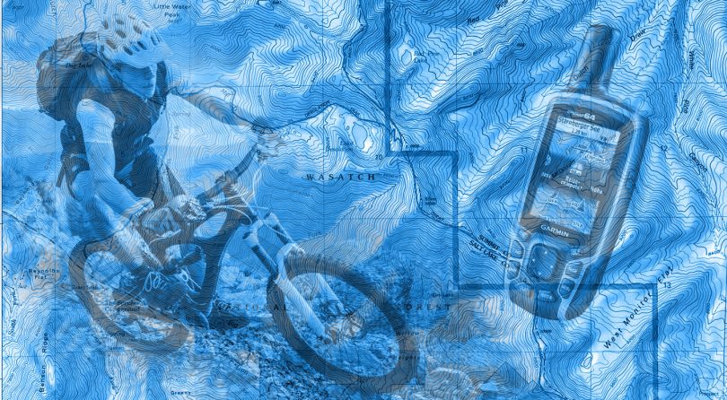
The MAPLand Act will direct federal land management agencies to digitize and standardize mapping records. This will allow hunters, hikers, bikers, anglers, and millions of other federal land users to access essential information about public lands as well as help federal land management agencies identify public lands with limited or nonexistent public access points and take proactive steps to open them to the public.
“I’m thrilled my MAPLand Act is on its way to President Biden’s desk,” Congressman Blake Moore said. “This is a major step forward for all who enjoy our federal lands. I thank my colleagues in the Senate for their strong display of support for our efforts to modernize and digitize our critical public land records. I am grateful we can deliver this major win for Utah and our nation at large.”
As it currently stands, more than 9.52 million acres of land in the West lack permanent and legal access points for public use….
Read the rest of the story on townlift.com. If you like this story on public land maps being digitized, check our our story on potential mountain biking in wilderness areas.